


Best Places to Visit Near Rudraprayag for Char Dham Yatra and Sangam Views
At around 895 metres in the Garhwal Himalayas, two rivers become one: the Alaknanda and the Mandakini meet here at a sacred confluence known as the Rudraprayag Sangam, one of Uttarakhand's five holy Panch Prayag. The town takes its name from Lord Shiva's Rudra form, said to have appeared here to bless the sage Narada, and that mythology, paired with its location on the main road north, has made it one of the most searched stops for anyone planning the Char Dham Yatra or an Uttarakhand road trip.
Nearly every route to Kedarnath and Badrinath passes through here, which is why so many pilgrims choose to break their journey at the Sangam rather than push straight through. A short walk from the confluence sits the little-visited Koteshwar Mahadev cave temple, and the highway soon passes Agastyamuni, a small temple town named for the sage believed to have meditated there. Further along, the meadows of Chopta, often called the Mini Switzerland of India, open onto trails leading to Tungnath, the highest Shiva temple in the world, and the summit views of Chandrashila.
Travellers continuing toward Kedarnath pass through Guptkashi, home to the ancient Vishwanath Temple and the last major town before Gaurikund, where the on-foot trek to the high shrine actually begins. A short detour off this route leads to Triyuginarayan, the temple said to mark the site of Shiva and Parvati's celestial wedding, kept alive by a fire that has supposedly never gone out, or to Ukhimath, the winter seat of the Kedarnath deity once the high-altitude shrine closes under snow. Closer to town, the ridge temple at Kartik Swami rewards a short climb with one of the widest Himalayan panoramas in the district, taking in peaks that stretch from Chaukhamba to Nanda Devi on a clear day.
Our Resort(s) at RUDRAPRAYAG

Important Information
State: Uttarakhand
District: Rudraprayag
Destination Type: Mountain & Pilgrimage Town
Nearest Airport: Jolly Grant Airport, Dehradun (about 182 km away)
Nearest Railway Station: Rishikesh Railway Station (about 177 km away)
Road Connectivity: Well connected via the Badrinath highway (NH58/NH07) from Rishikesh, Haridwar, and Dehradun
Languages: Hindi, Garhwali, and English
Summer (March to June): Warm during the day with temperatures between 25°C and 40°C, though evenings stay noticeably cooler in the valley
Monsoon (July to September): Heavy rainfall with the risk of landslides on mountain roads, making travel less predictable through the season
Winter (October to February): Cold and crisp, with temperatures ranging from 10°C to 15°C and frost possible at higher elevations nearby
● Book accommodation well ahead if travelling during the Char Dham Yatra season from March to June, when the highway sees the heaviest pilgrim traffic.
● Check road conditions before setting out during the monsoon, since landslides can occasionally disrupt the ghat roads toward Kedarnath and Badrinath.
● Carry warm layers year-round, since evening temperatures drop quickly even when daytime weather feels mild.
● Start early for day trips to Chopta or Deoria Tal, both of which involve a few hours of driving on winding mountain roads.
● Carry a valid ID and any required Char Dham Yatra registration documents, since checkpoints along the route to Kedarnath and Badrinath do verify permits.
● Build in a rest day before continuing to Tungnath or Chandrashila, since the trek climbs well above 3,500 metres and altitude can affect trekkers who go up too quickly.
Quick Facts
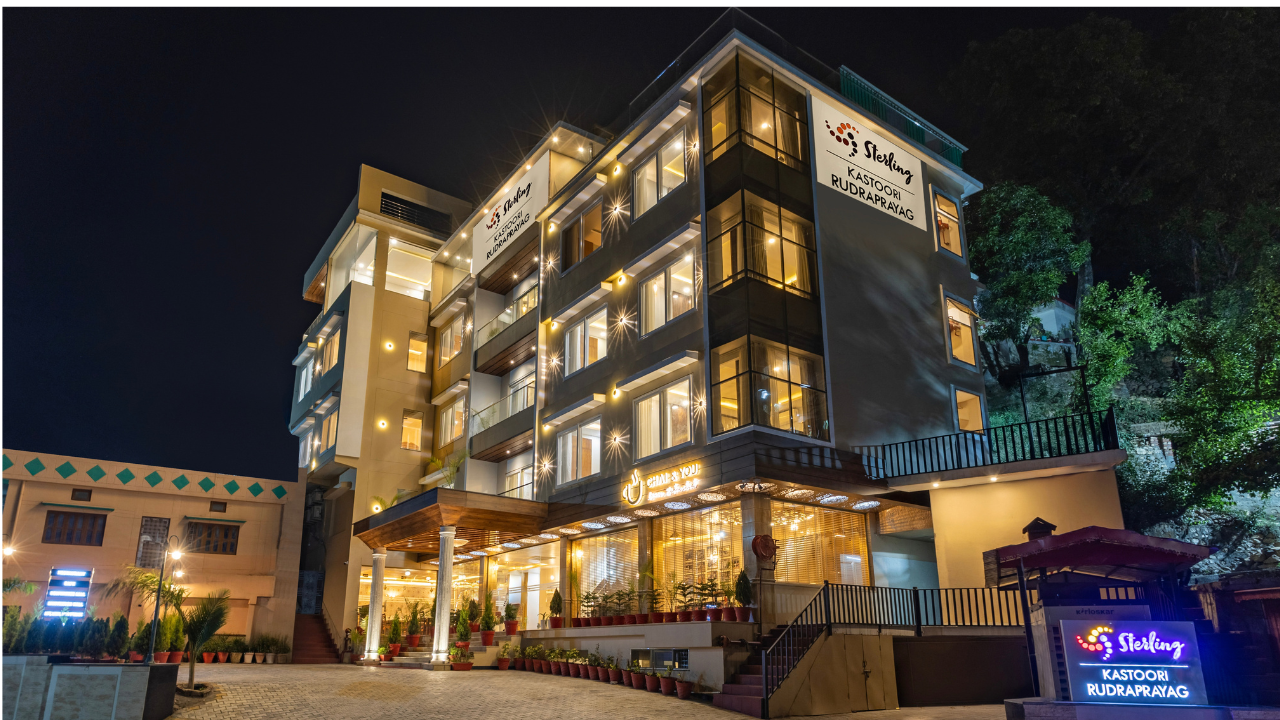
Sterling Kastoori Rudraprayag
Positioned right on the Badrinath highway at the edge of the Alaknanda-Mandakini confluence, Sterling Kastoori Rudraprayag is built as much for a quiet overnight break as for a longer stay. Rooms types range from the Valley View Classic Room with Balcony to the Valley View Premier Room, furnished with colonial-style four-poster beds for a more old-world stay. Families travelling together can opt for the Family Room with Valley View, built to comfortably sleep up to five. Meals are entirely vegetarian at Vatika, the resort's restaurant serving North Indian and regional Uttarakhand dishes along with Jain meals on request.
Location & Information
State: Uttarakhand
District: Rudraprayag
Destination Type: Mountain & Pilgrimage Town
Nearest Airport: Jolly Grant Airport, Dehradun (about 182 km away)
Nearest Railway Station: Rishikesh Railway Station (about 177 km away)
Road Connectivity: Well connected via the Badrinath highway (NH58/NH07) from Rishikesh, Haridwar, and Dehradun
Languages: Hindi, Garhwali, and English
● Book accommodation well ahead if travelling during the Char Dham Yatra season from March to June, when the highway sees the heaviest pilgrim traffic.
● Check road conditions before setting out during the monsoon, since landslides can occasionally disrupt the ghat roads toward Kedarnath and Badrinath.
● Carry warm layers year-round, since evening temperatures drop quickly even when daytime weather feels mild.
● Start early for day trips to Chopta or Deoria Tal, both of which involve a few hours of driving on winding mountain roads.
● Carry a valid ID and any required Char Dham Yatra registration documents, since checkpoints along the route to Kedarnath and Badrinath do verify permits.
● Build in a rest day before continuing to Tungnath or Chandrashila, since the trek climbs well above 3,500 metres and altitude can affect trekkers who go up too quickly.
Summer (March to June): Warm during the day with temperatures between 25°C and 40°C, though evenings stay noticeably cooler in the valley
Monsoon (July to September): Heavy rainfall with the risk of landslides on mountain roads, making travel less predictable through the season
Winter (October to February): Cold and crisp, with temperatures ranging from 10°C to 15°C and frost possible at higher elevations nearby
Gallery


Best Time to Visit
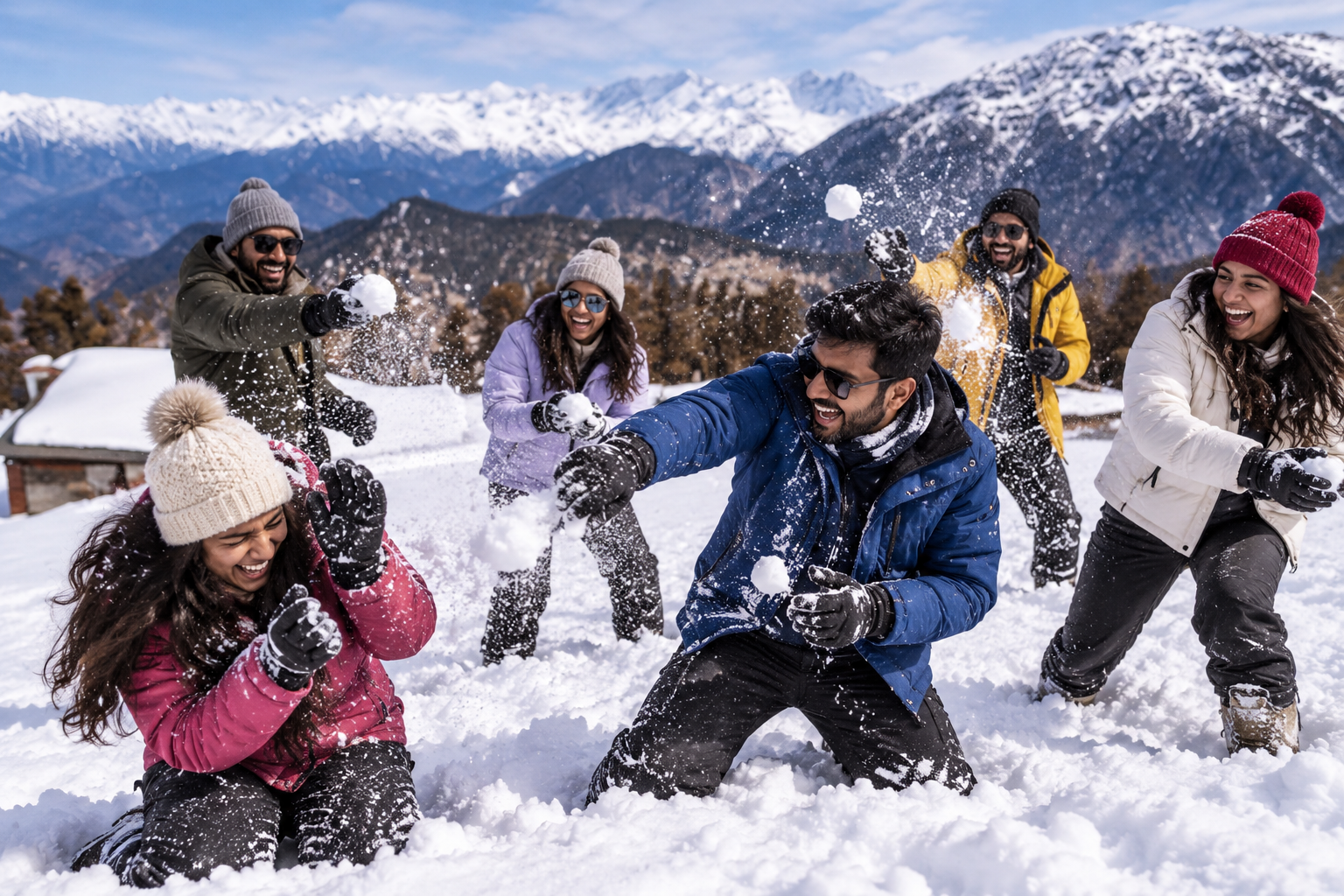
October to February - Cool, Clear, and Comfortable
This stretch is generally regarded as the best time to visit Rudraprayag, with clear mountain views and comfortable daytime temperatures for sightseeing around the Sangam and nearby temples. Higher-altitude spots like Chopta and Tungnath can see snowfall in peak winter, adding a different kind of appeal for travellers chasing snow.
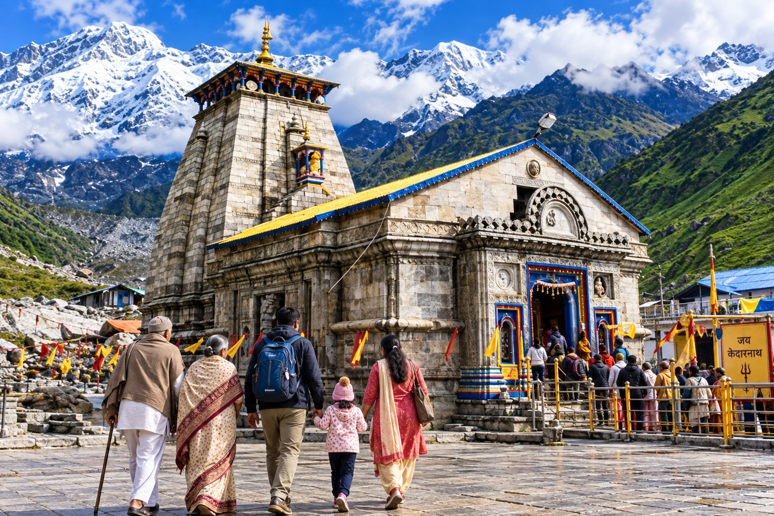
March to June - Char Dham Season
This is when the Char Dham Yatra is in full swing, and the highway through town fills with pilgrims heading to Kedarnath and Badrinath. Daytime temperatures climb into the 30s, but the season remains the most popular for both pilgrimage and road trips, so advance bookings are essential.

July to September - Monsoon, Best Avoided for Road Travel
Heavy rain during these months brings a real risk of landslides on the mountain roads, and several stretches of the Char Dham route can see temporary closures. Unless the plan is flexible, this window is best skipped for anyone driving through the Garhwal hills.
Pilgrims timing a trip around the Char Dham Yatra should plan for March through June and book well in advance, while travellers who simply want clear mountain views and a quieter stopover will find October to February far more comfortable. The monsoon months are worth avoiding altogether unless local road conditions are confirmed just before departure.